

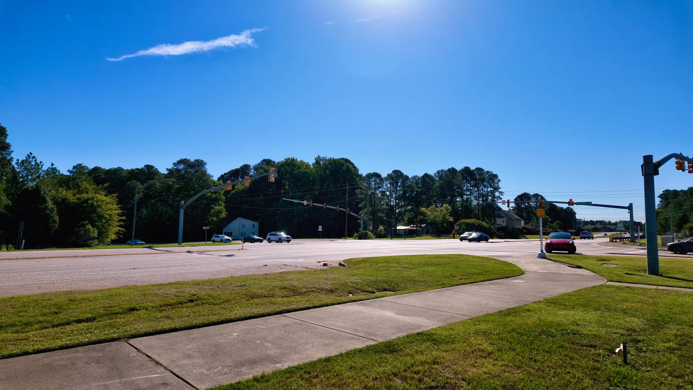
Research Triangle Park is not a destination with a front door. It is roughly seven thousand acres of dispersed campuses with entrances on several sides, and that geometry is the reason commute times here are so poorly predicted by map distance.
It also means that the default route — get on I-40, drive until the exit — is often the worst available option, because it is the one everyone else has also defaulted to.
Davis Drive
The most useful road in west Cary. Davis Drive runs north from the Cary and Morrisville area directly into the Park’s southern side, without touching the interstate at all.
It is not fast in the sense of a highway. It has signals, and it carries school traffic, so the difference between leaving at 7:40 and leaving at 8:10 is substantial. But it is predictable, and predictability is worth more than speed on a route you drive twice a day.
For anyone considering Carpenter, Highcroft or the Davis Drive corridor generally, this is the road to test before buying.
NC-540, the Triangle Expressway
The toll road is the piece that most changes the map, and it is the reason the newest streets at the western edge of Cary are viable for Park commuters at all.
Two honest points about it. First, it works — it is genuinely faster and materially more reliable than the free alternatives at peak. Second, it is a toll road, and if you use it twice a day, five days a week, that is a recurring household expense that should go into the budget alongside the mortgage rather than being discovered later.
People weighing a house in Green Level or western Apex should price the toll properly. It frequently changes which house is actually affordable.
NC-54 and Chapel Hill Road
From Morrisville, the approach through NC-54 and the local street network is often shorter than anything involving an interstate. Morrisville’s whole advantage is that it sits close enough to the Park that you can reach several entrances on ordinary roads.
This is the route that makes Morrisville’s commute the shortest of any incorporated town in the region, and it is why the town prices the way it does relative to its housing stock.
Aviation Parkway and the airport side
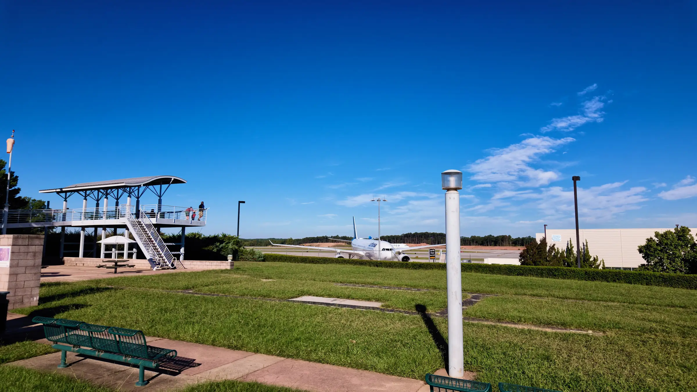
For campuses on the northern and western sides of the Park, approaching via Aviation Parkway from the RDU side can beat coming up from the south, particularly when I-40 is congested at the Airport Boulevard interchange.
It is situational rather than universal. Worth knowing as an alternative rather than as a default.
The point about entrances
The recurring mistake is treating “the Park” as one place. Two employers within RTP can be eight minutes apart, and the best route to one is not the best route to the other.
If you are choosing a house around a Park commute, get the specific address of the building you will drive to, then test the drive from candidate streets at the hour you would actually leave. It is a tedious afternoon and it routinely reorders people’s shortlists.
The corollary matters too: do not rule out an area because its map distance looks wrong. In this region, distance is a poor proxy for time, and the roads that work are not always the big ones.