

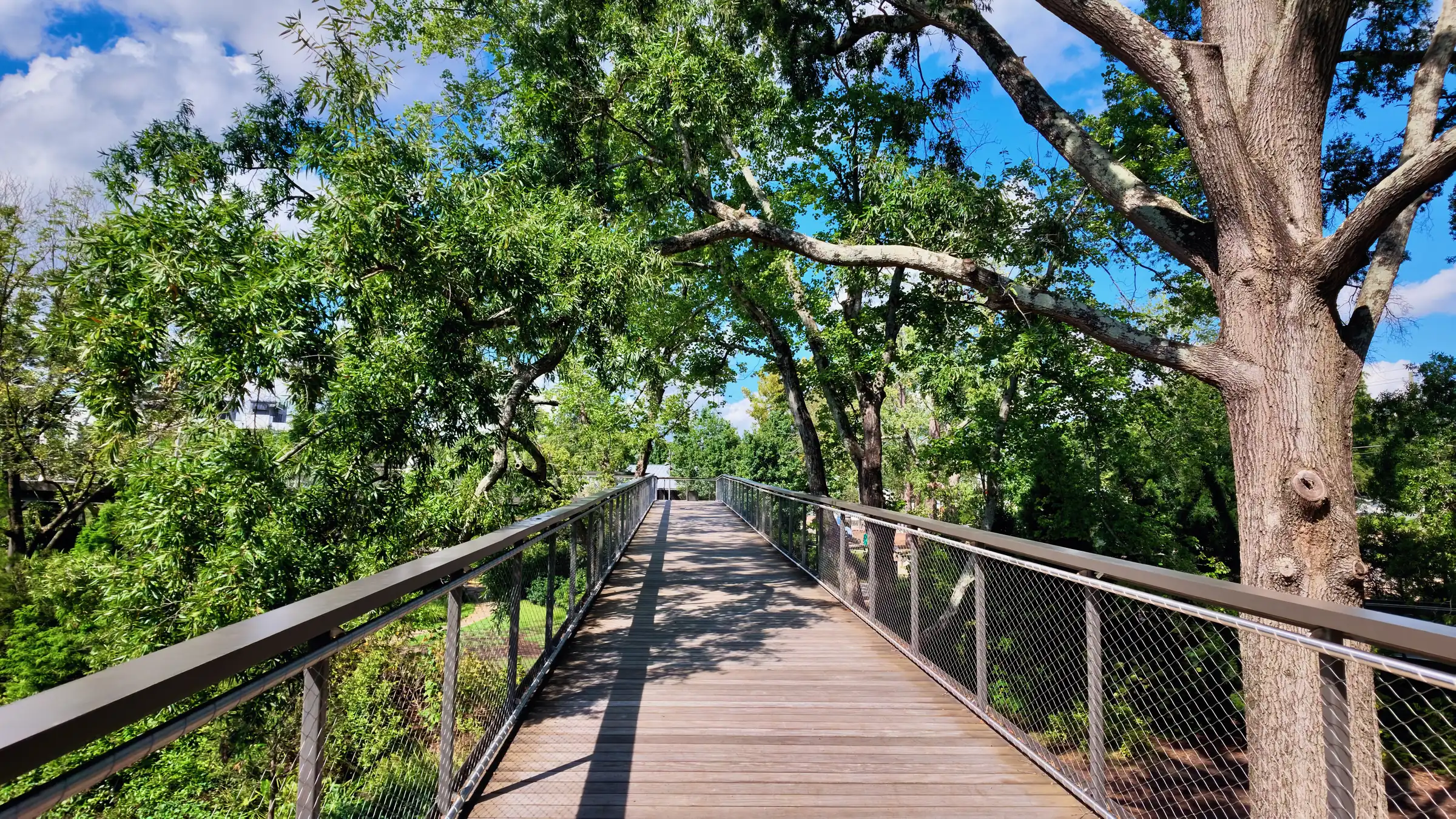
Drive west along almost any main road in Cary and you will pass shopping centers, apartment buildings and subdivisions of several hundred houses without seeing most of them. What you see is a band of trees.
That band is the ordinance.
What the rules do
Cary requires preserved or replanted vegetative buffers along roads and between land uses, and it protects specified trees during development. The practical effect is that when a site is cleared, a strip at its edges is not — and thirty years of that produces a town where the arterials read as corridors through woodland.
Layered on top are signage rules that constrain size, height and illumination, and materials standards that limit large expanses of vinyl on prominent elevations. Together they explain most of what a visitor notices about Cary within ten minutes of arriving, and cannot quite name.
What it produces
Three things, consistently.
The first is a genuinely different summer. A mature canopy over a street is worth several degrees on a July afternoon and it changes how the street is used — people walk in the evening in neighborhoods that have it and drive in the ones that do not.
The second is that commercial development recedes. Retail here is set behind planting rather than in front of parking, which is why visitors regularly drive past a shopping center without registering it. Whether that is elegant or inconvenient depends on whether you were trying to find it.
The third is construction quality that clusters at a higher floor than it otherwise would. Materials standards mean the brick, stone and fiber cement that dominate Cary elevations are not the builder’s choice in every case. It is difficult to build a cheap-looking house here.
What it costs
Two things, and they are worth stating plainly rather than pretending they do not exist.
Uniformity is the obvious one. When a town constrains materials, signage and site treatment for thirty years, the results converge. Cary streets share a palette to a degree that some people find restful and others find hard to distinguish. This is a real aesthetic cost of a real quality benefit, and reasonable people land differently on the trade.
The second is subtler: buffers consume land. A required planted edge is land that is not a house, a garden or a shop, and in a town under sustained growth pressure that has consequences for how much gets built and at what density. Cary’s greenness and Cary’s prices are not unrelated facts.
Why it matters to a buyer
Mostly because it tells you what you are actually paying for.
A significant part of Cary’s price premium over its neighbors is attributed to schools, and that is not wrong. But a real portion of it is the accumulated effect of forty years of consistent development standards, which is not something a competing town can decide to have next year. It compounds, and it is the least transferable asset the town owns.
It also tells you what to look for when comparing a Cary subdivision against a similar-looking one just over the town line. The line is often visible from the road — in the signage, in the buffer, and in what happened to the trees.