

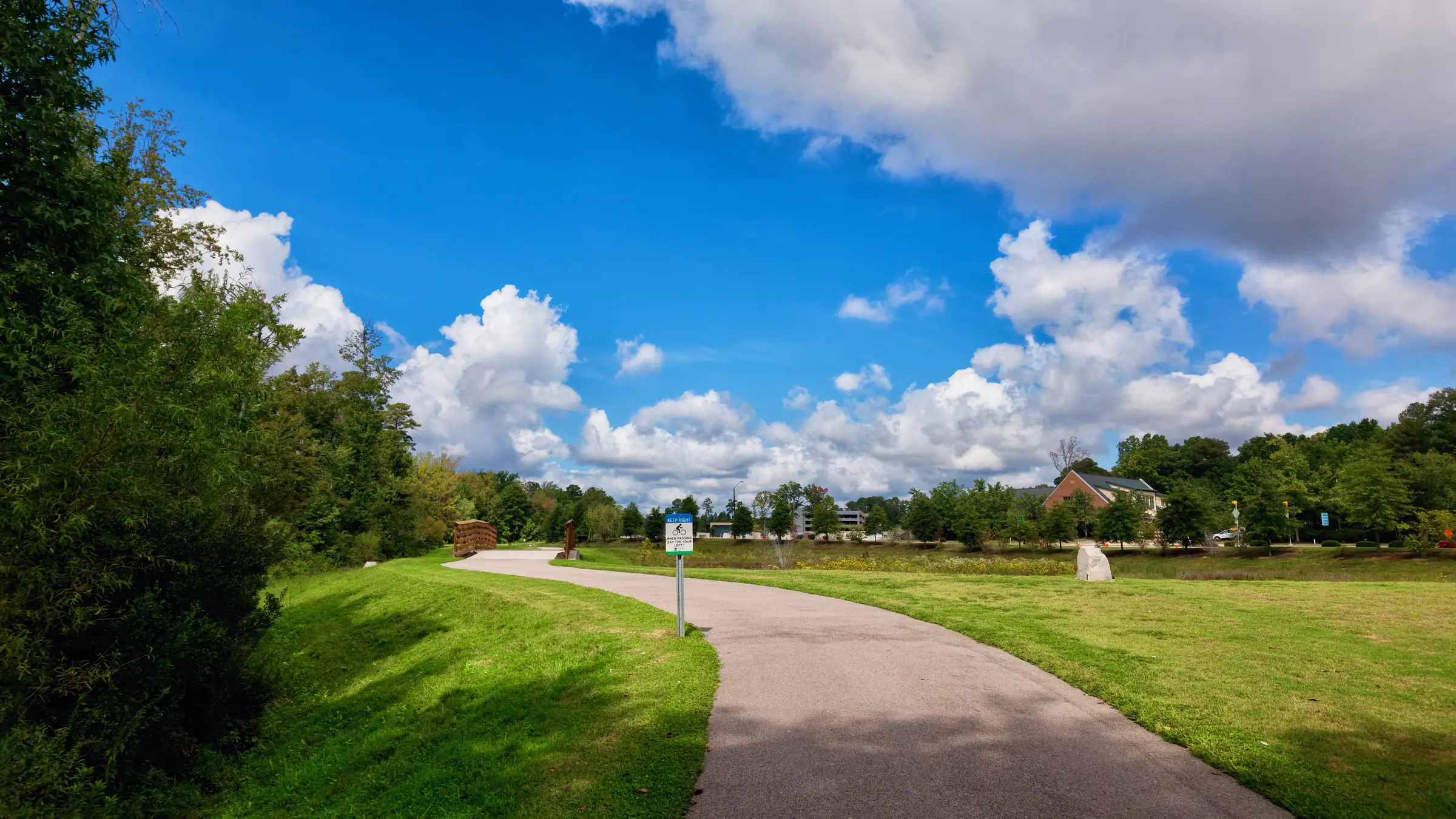
The Triangle’s trail network is genuinely one of the best things about living here, and it is chronically undersold to people relocating. Raleigh’s Capital Area Greenway system runs to well over a hundred miles of paved path; Cary’s network connects into it; the American Tobacco Trail runs south-west on an old rail bed.
But “near a greenway” in a listing can mean anything from a gate at the end of the garden to a fifteen-minute drive and a parking lot.
The distinction that matters
A trail you can reach on foot, from inside your neighborhood, without crossing an arterial, gets used daily. It becomes part of the household’s ordinary movement — a run before work, a walk after dinner, a child cycling to a friend’s house.
A trail you drive to gets used on Saturdays, in good weather, when someone remembers.
These are different products, and only one of them justifies a premium. The difference is almost always a single road crossing.
How to check it properly
There is a method, and it takes about twenty minutes per address.
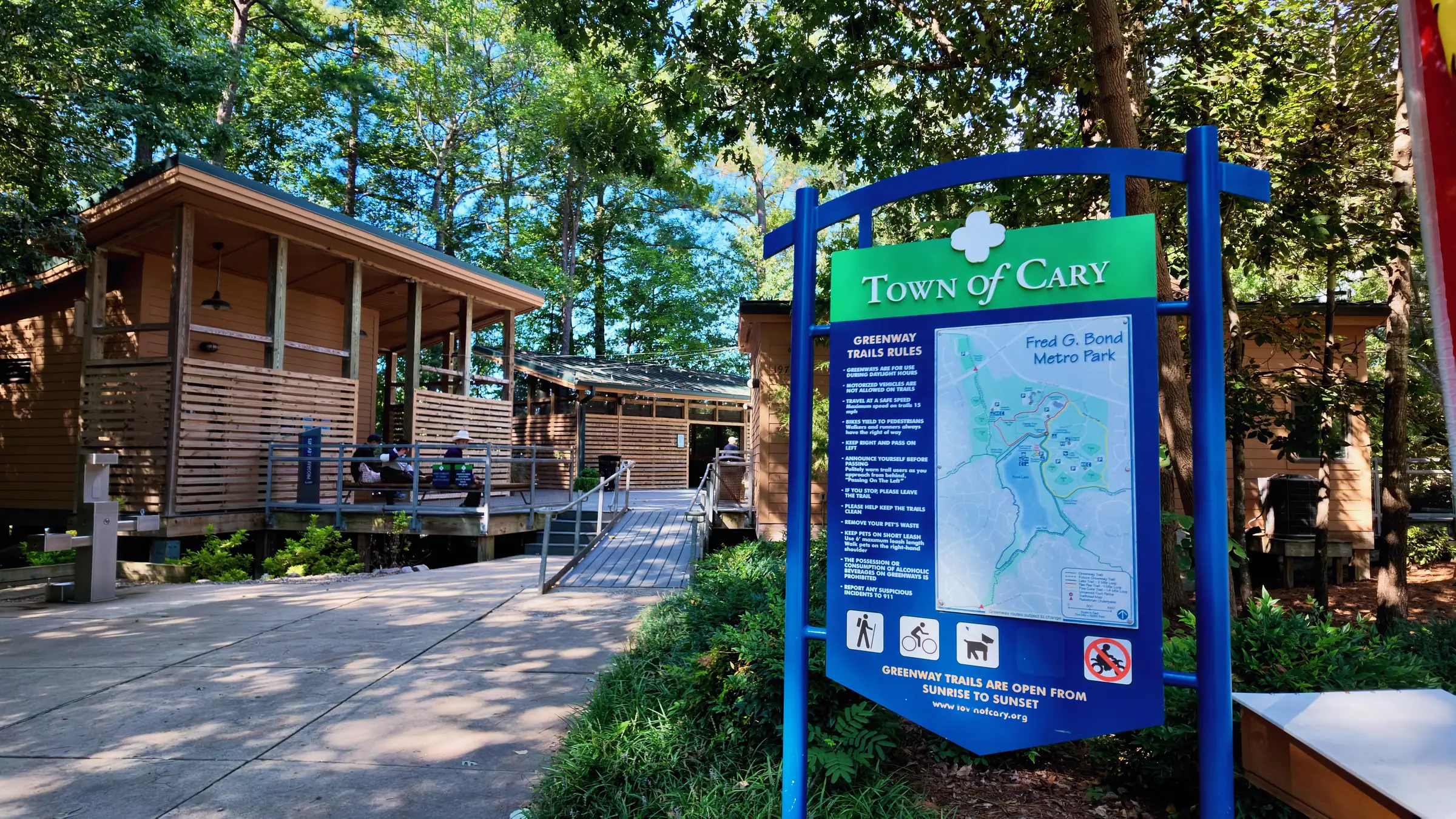
Start with the official map, not the listing. Both the Town of Cary and the City of Raleigh publish current greenway maps showing existing routes, planned routes and trailheads. Planned segments are shown alongside built ones and are easy to misread as existing — check which is which, because a planned connection can stay planned for a decade.
Find the actual connection point. A subdivision that backs onto a creek corridor does not necessarily have an entrance to it. Look for a marked trail spur, a path stub at the end of a cul-de-sac, or an easement between two lots. If you cannot find one on the map, there may not be one.
Then walk it. From the front door of the specific house to the trail surface. Time it. Note every road you cross and whether it has a center line, a crossing, or neither. This is the test that decides whether the amenity is real.
The corridors worth knowing
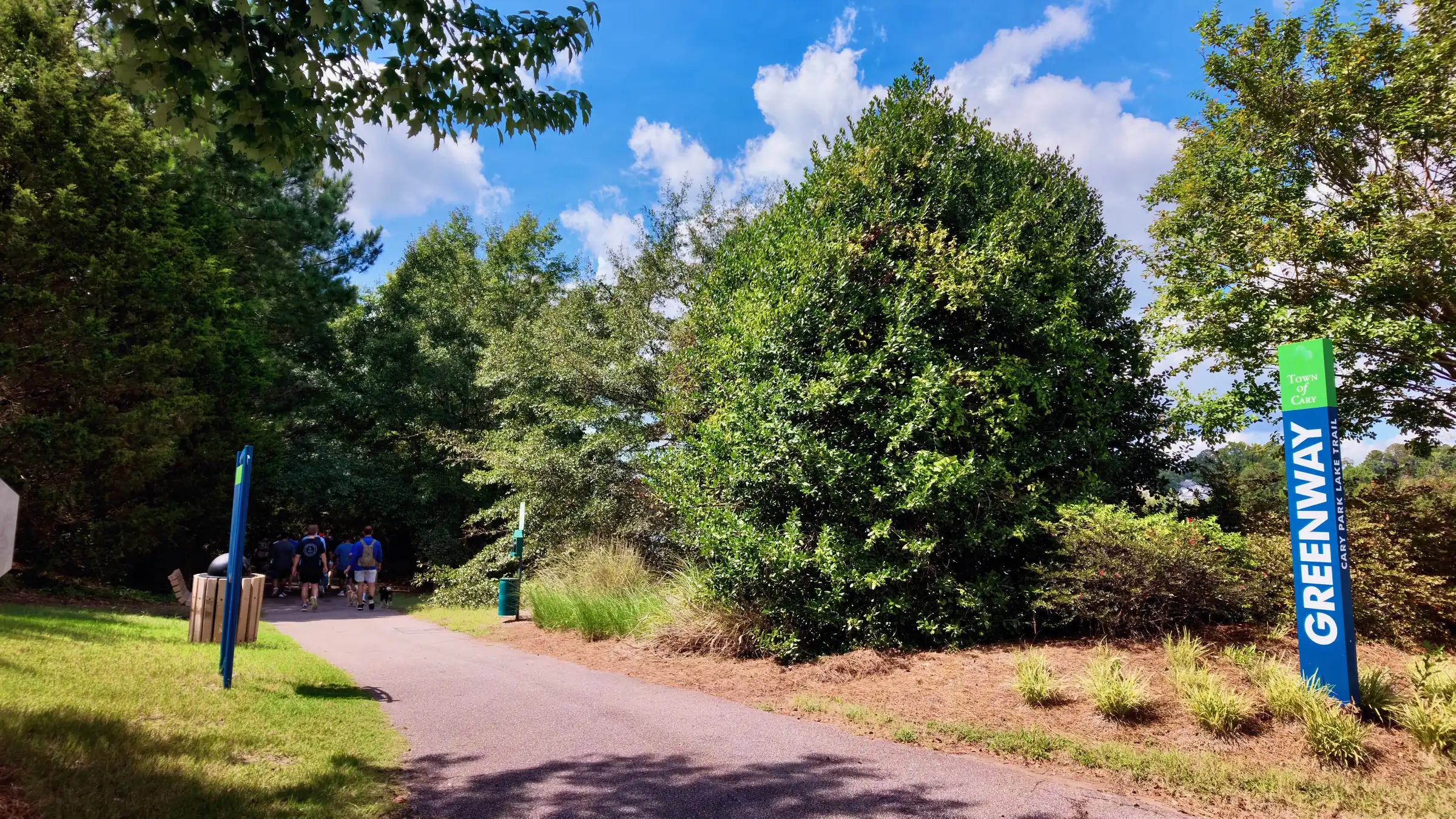
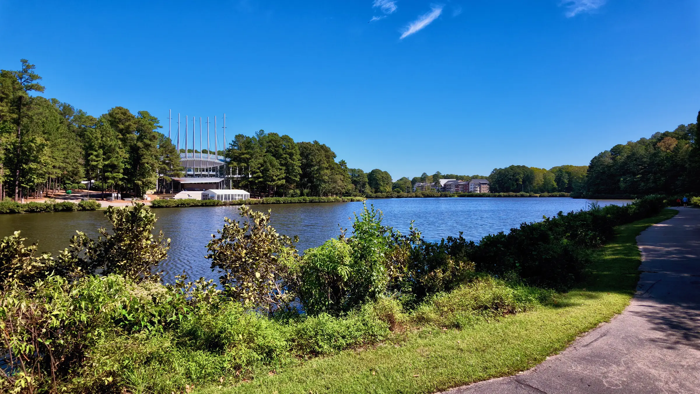
In Cary, the two spines are Black Creek Greenway and White Oak Creek Greenway, with connections through Bond Park and around Symphony Lake. Together they link a substantial part of the town, and several subdivisions in the western half have internal connections into the network.
In Raleigh, the Capital Area Greenway system is extensive and the Neuse River Trail runs for a long continuous stretch along the county’s eastern side. Several inner neighborhoods connect through creek corridors — Crabtree Creek in particular threads through a large part of the city.
Regionally, the American Tobacco Trail runs south-west from Durham through Wake and Chatham counties on a former rail alignment, and is the closest thing the area has to a long-distance route.
The caveat
Creek corridors are where greenways go because creek corridors are where you cannot build. That is also where water goes.
Direct trail access and proximity to a floodplain are frequently the same fact viewed from two directions. If a house backs onto a greenway, check the current FEMA flood mapping for the parcel, ask about any history of water in the crawl space, and find out what the drainage does in a heavy summer storm.
It is usually fine. It is worth ten minutes to establish that rather than assume it.
Why this is worth the trouble
Because it is one of the few amenities in a house search that genuinely changes daily life and is objectively verifiable before you buy.
School assignments change. Commutes change with a job. A paved path fifty yards from the door does not change, and in a region this hot in August, the difference between walking under a canopy and walking on a sidewalk beside an arterial is the difference between doing it and not.